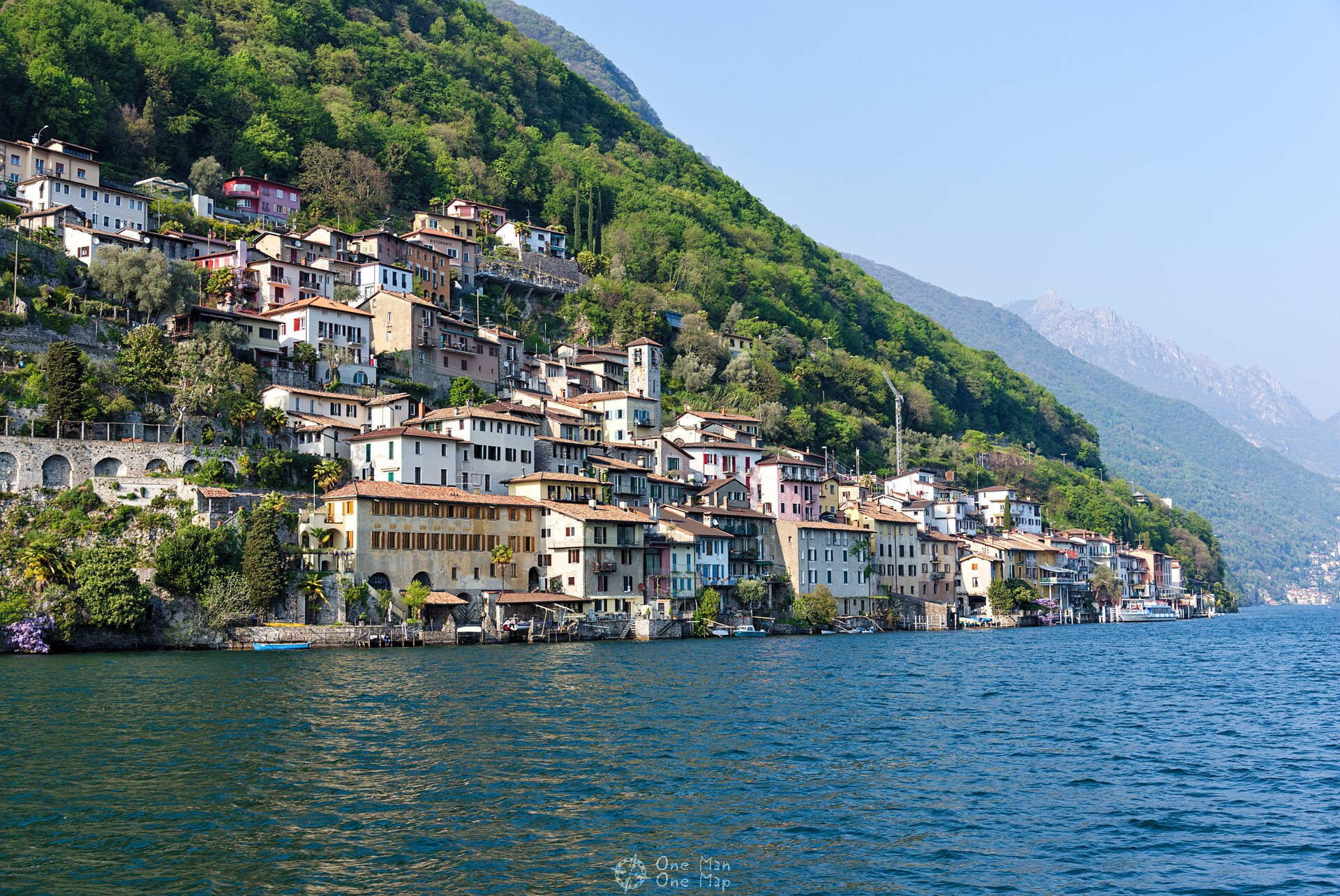
| Monte San Salvatore – Morcote | |||
| Area | Lugano, Ticino, Switzerland | ||
| Start | Valley station funicular, Lugano-Paradiso (282 m) | ||
| Highest Point | Monte San Salvatore (912 m) | ||
| End | Morcote (282 m) or Lugano-Paradiso (Ship) | ||
| Distance | 10 km | Duration | 4 hours |
| Ascent | 174 meters | Descent | 803 meters |
| Leicht Summer Fall | |||
Dieser Artikel ist auch auf Deutsch verfügbar. Click here to find out more about Switzerland!
Today we will go on one of the classic routes along the Lake of Lugano. The hike takes us along the ridge of the Ceresio peninsula from the peak of Monte San Salvatore to the picturesque village of Morcote. Along the way there are great views from the summit, a special fauna and flora, the villages of Ciona and Carona and the botanical garden of San Grato. And at the end there is the possibility to return by boat 🙂
The best way to get there is by train to the Lugano-Paradiso station, alternatively you can walk the almost two kilometers from the old town of Lugano to the valley station of the San Salvatore funicular. There are two options for the ascent to Monte San Salvatore: Either you climb the 912-meter-high summit on foot in about two hours , or you use the funicular. The return from Morcote to Lugano-Paradiso can be done by bus or boat. A ticket for a return trip with the funicular currently (September 2020) costs 30 Swiss Francs or 28 Euros per adult, a combined ticket for the funicular and ship 40 Swiss Francs or 37 Euros.
Of course, you can also start the hike in Morcote and hike the whole route in the opposite direction. For experienced climbers there is also a via ferrata on the north-west side, but it falls in the “Dolomites type” category and is considered to be very difficult.
Funicolar to Monte San Salvatore
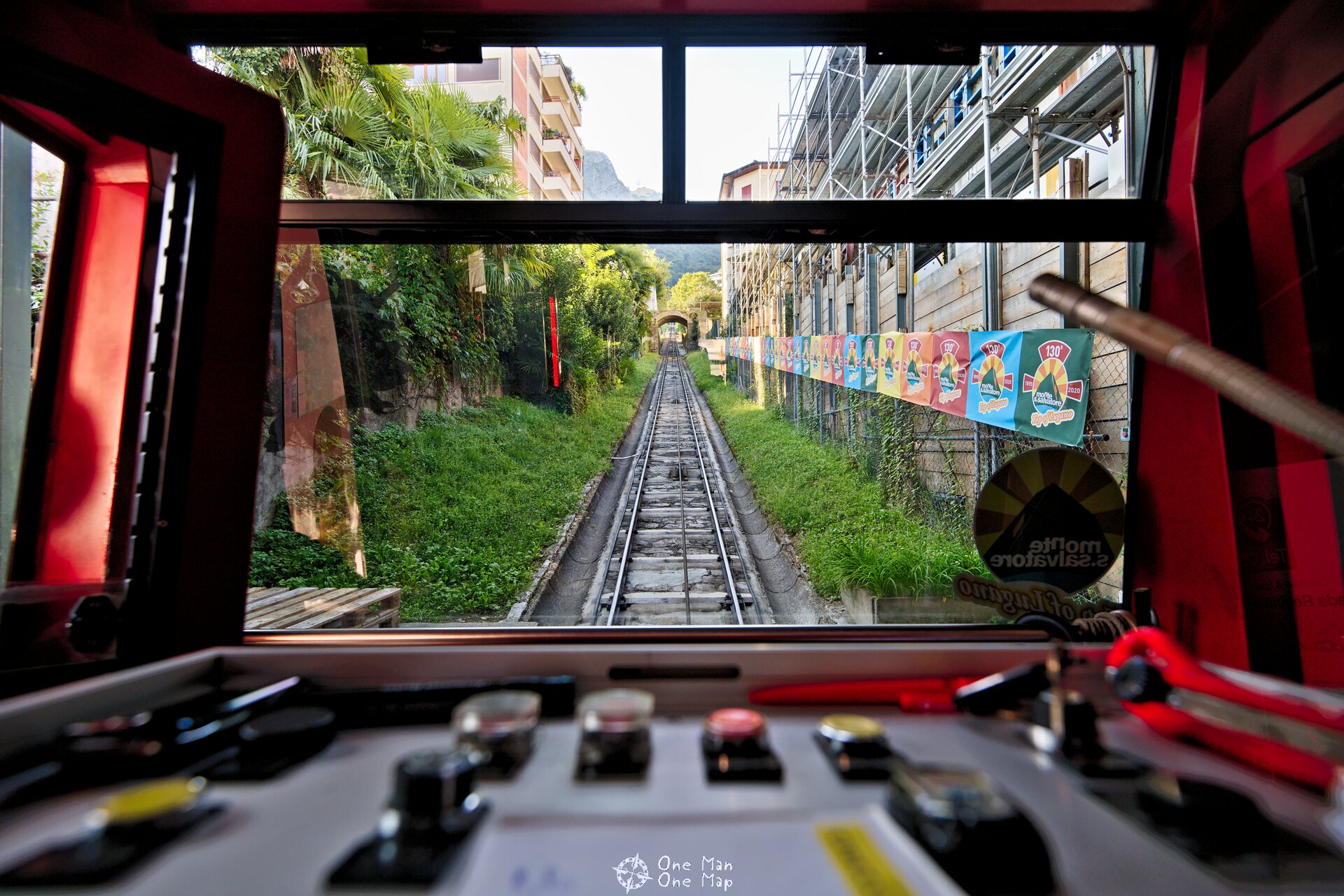
The Funicolare Monte San Salvatore was built in 1888 and put into service in 1890. With its electric drive the funicular was unusually modern for its time. The entrance area with the ticket office is still decorated in the old style, the vehicles and the track have been modernized in 2001.
Unlike most other funiculars, the route consists of two separate sections with different gradients. So there is no passing point where the two vehicles meet. After a six-minute ride you change vehicles at the Pazzallo middle station, where the common drive is located, and then take the second train to the summit. The hiking path to the summit goes roughly along the tracks of the funicular.
On top of Monte San Salvatore
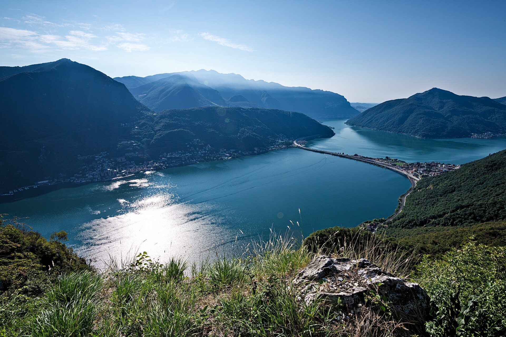
At the top station of the funicular there is the summit restaurant Ristorante Vetta, the San Salvatore Museum and the summit church Chiesa Vetta. From seven lookout points you have an excellent view over Lake Lugano, Lugano, Campione d’Italia, the surrounding mountains of the Swiss and Savoy Alps and the Po Valley.

The roof of the summit church forms one of the viewpoints. Two panels with maps on the north and south sides provide information about the surrounding villages and mountain peaks.

On the other side of the lake, the Italian exclave Campione d’ Italia with its huge casino can be seen from the summit. This hardly one square kilometer large spot belongs to Italy and is completely surrounded by Swiss territory, although it is just 500 meters to the Italian border.
Campione, by the way, is not one of the many Europen wartime remnants. The special status of the place goes back to the 8th century after Christ.
Four of the seven lookout points are located below the summit. Those who didn’t opt for the funicular already pass them during the ascent to the peak. All others have to climbing down and then back up again. But it is worth it! 🙂
Around the summit there are also colorful benches and information boards with more information about flora and fauna and games for children. Off the way there are many butterflies and lizards to see.
One of the best views of Lake Lugano can be enjoyed from the viewing point on the narrow and exposed Sasso del Cucù, the “Cuckoo’s Rock”.


Back at the top, the descent towards Ciona begins below the restaurant. The first part is quite steep, but after that the path goes mostly level through the cool forest. Very pleasant especially on hot summer days.


Ciona
About one and a half kilometers from the summit is the small village of Ciona with its ancient houses.
The small Oratorio Santa Maria delle Grazie from the 16th century is in a surprisingly good condition for such a small church in such a small village.
Carona and Parco San Grato
The “artists’ village” Carona is located about halfway along the hike. Hermann Hesse used to live just a few kilometers away in Montagnola for many years and came to Carona again and again. In 1919 he met his second wife Ruth Wenger here.
Adjacent to Carona is the Parco San Grato, a huge park with azaleas, rhododendrons and conifers. The entrance is free, the hiking trail leads straight through it.
On the opposite side of the Lake is Monte Generoso. In the middle you can see the “Stone Flower” next to the top station of the new rack railroad.
After about eight kilometers from the peak, behind the Alpe Vicania, the Big Stair Climbing begins. The descent down to the Santa Maria del Sasso sanctuary is about 400 meters.

Santa Maria del Sasso
Right at the beginning you will pass the landmark of the coastal town of Morcote, the Santa Maria del Sasso sanctuary. It towers high above the lake and has a bell tower in Romanesque style with an octagonal superstructure which is visible from afar.
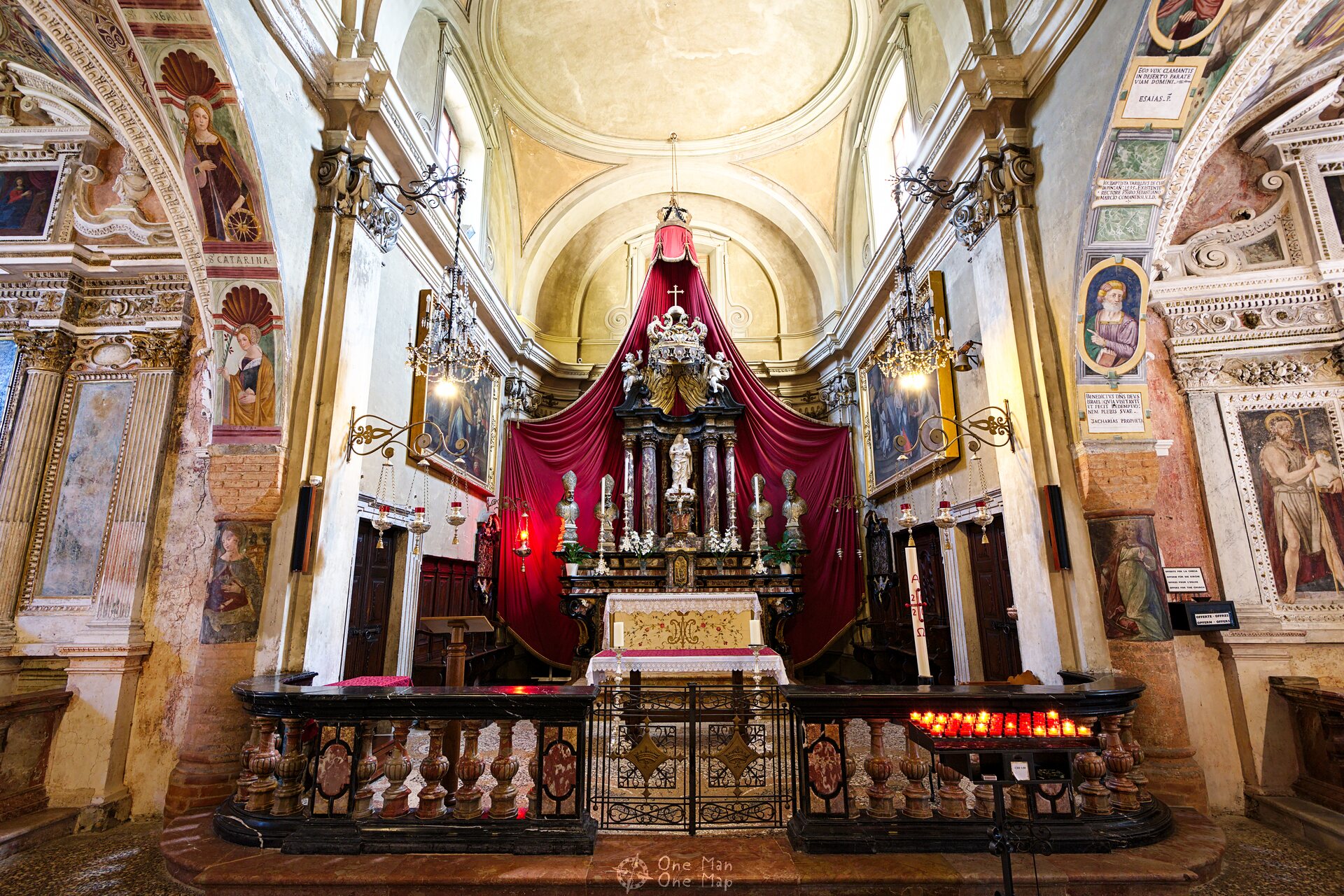
The church has a richly decorated interior with impressive side niches. Some of the frescoes are more than 500 years old.
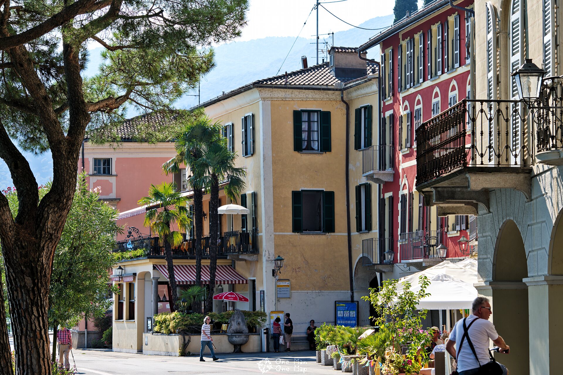
A monumental staircase with 404 steps leads down to the shores of Morcote. Many restaurants, shops and the pier of the shipping company Società navigazione del lago di Lugano (SNL) are located on the small promenade.
Back to Lugano-Paradiso by ship
From Morcote you can return by boat to Lugano-Paradiso. The journey takes 50 minutes. On the way the boat makes several other stops such as Melide and Campione d’Italia.
Opened in 1917, the Casino Municipale of Campione d’ Italia was the largest casino in Europe until it went bankrupt in 2018. Its doors will remain closed until a new gamblin license can be issued in 2023.


Verdict: A very diverse and long hike along many highlights around Lake Lugano 🙂
More hiking tours around the world can be found in the corresponding category.
This post was written by Simon for One Man, One Map. The original can be found here. All rights reserved.

