Dieser Artikel ist auch auf Deutsch verfügbar. Click here to find out more about Belarus!
There is not much to see in Minsk, so most people who stay in Belarus for a longer amount of time will want to visit other places. You have to bring a lot of time for the state railway and the intercity buses, so many tourists book guided minibus tours. But Minsk also serves as a good starting point for a round trip car hire.
The following sights are covered in separate articles:
-
- The Lost Place “Druzhnyj”
- The castles Mir and Nasvish
- The Stalin Line
I had booked the rental car in advance on one of the usual intermediary portals. My German driver’s license was accepted, an international driver’s license was not necessary (I had brought mine anyway).
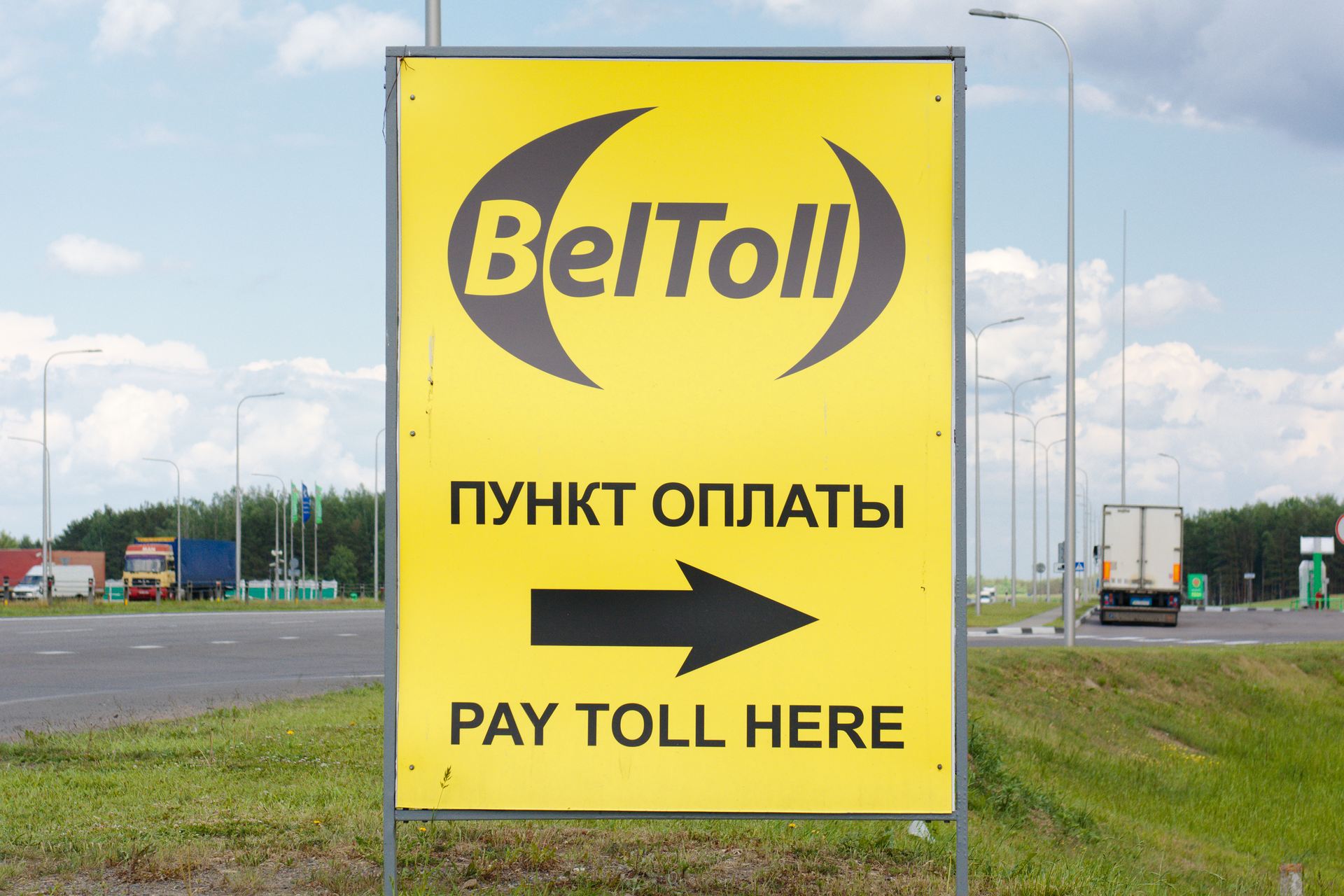
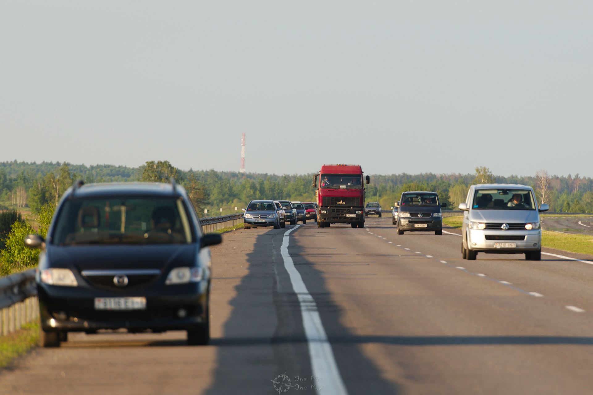
The main roads were well developed and mostly comparable to many EU member states. Of the 14 highways seven lead to or through Minsk, two more run around the capital as ring roads. The M1 motorway is part of the Poland-Moscow axis and is the only motorway comparable to a German Autobahn. For foreign vehicles a toll (“BelToll”) is due on the highways, rental cars have a national registration and are not affected.
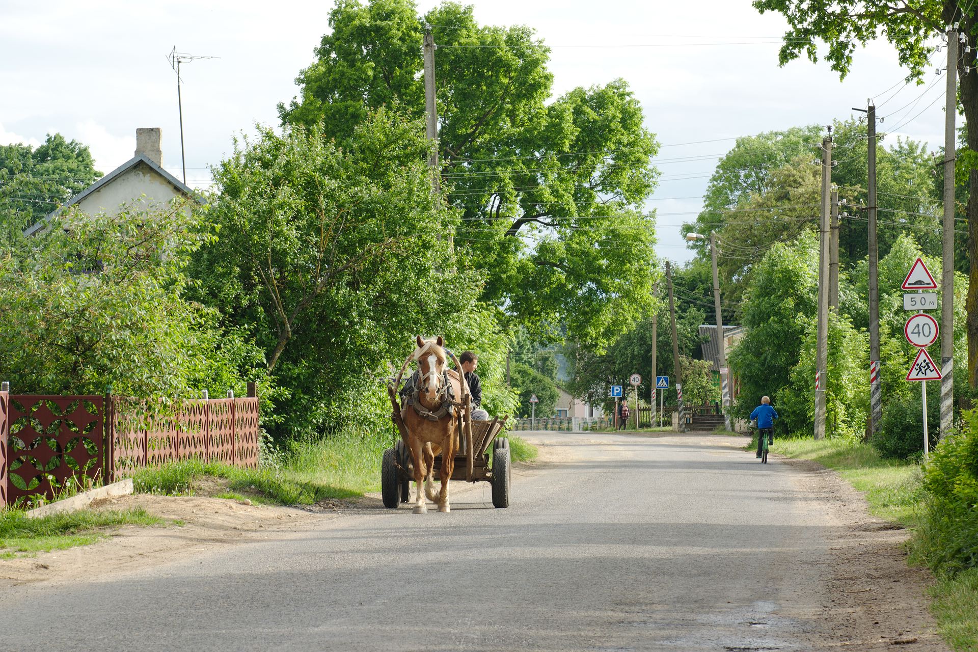
The speed limits were a topic of its own. The signs were usually tiny and often marked with additional panels such as “for the next x kilometers”. But who manages to remember all the time that after x kilometers you can drive at the previous speed limit again?
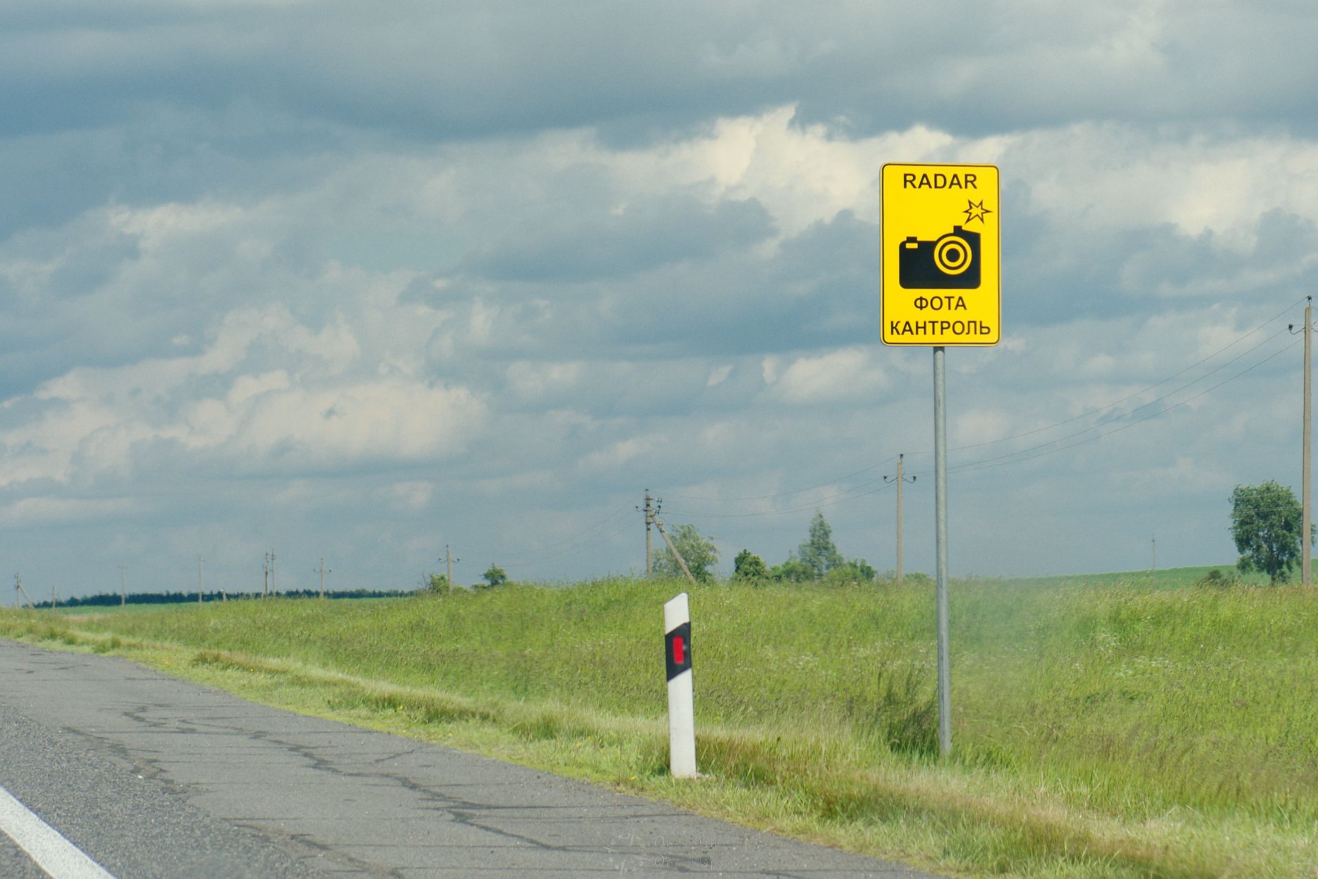
Fortunately, OpenStreetMap data for Belarus was of excellent quality, so as usual I was able to use the OSMAnd Android App and was warned when I was speeding. In practice, the stationary traffic cameras were always clearly marked too.
The driving style was the same as in most of Eastern Europe. Drivers overhauled on the left and right, the speed limit was either greatly exceeded or grossly undercut, vehicles were parked in many corners (also in the highway exits…). Talking at the phone and texting while driving was the norm. In addition, most highways are just expressways and not real motorways, so they are not separated completely from the rest of the road network. There are intersections, left turn lanes, pedestrian crossings, etc., and all of this while the cars are going at 100 or even 120 kilometers per hour.
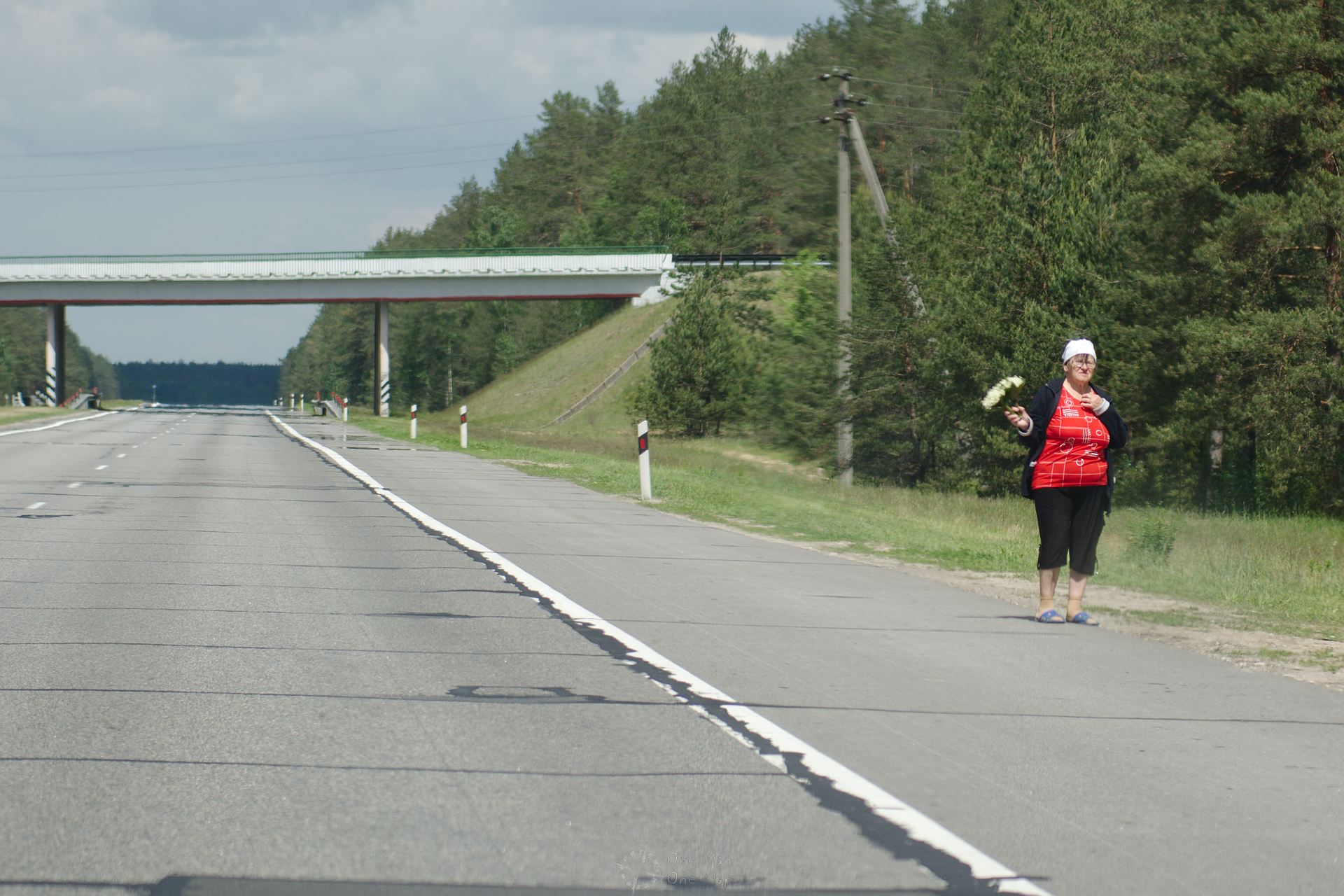
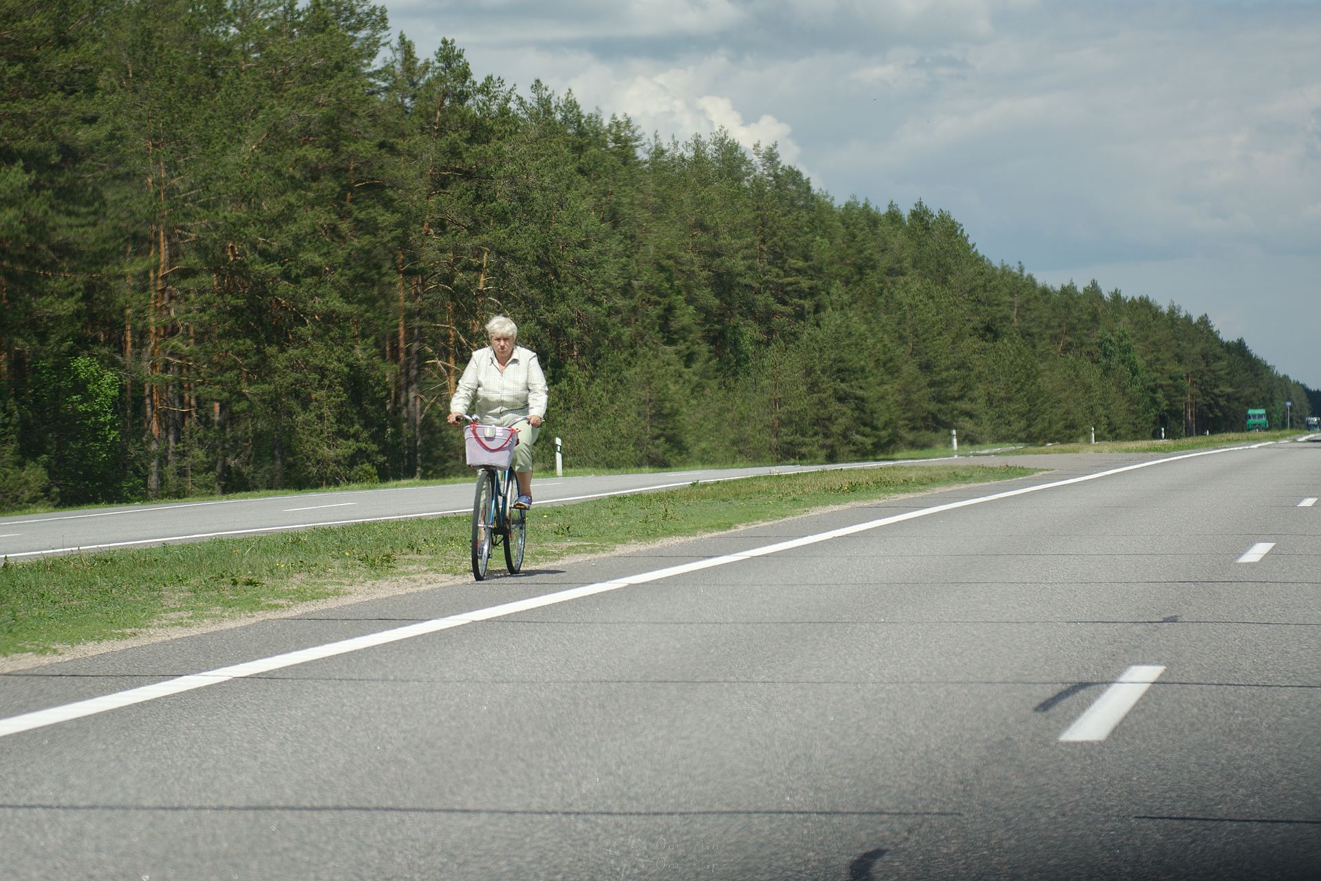
Cyclists, pedestrians, flower sellers and fishermen were using the side lanes as sales areas or simply parking lots. Not something for the faint of heart, but I was used to it and there were no dangerous situations. I had no encounters with the police either.
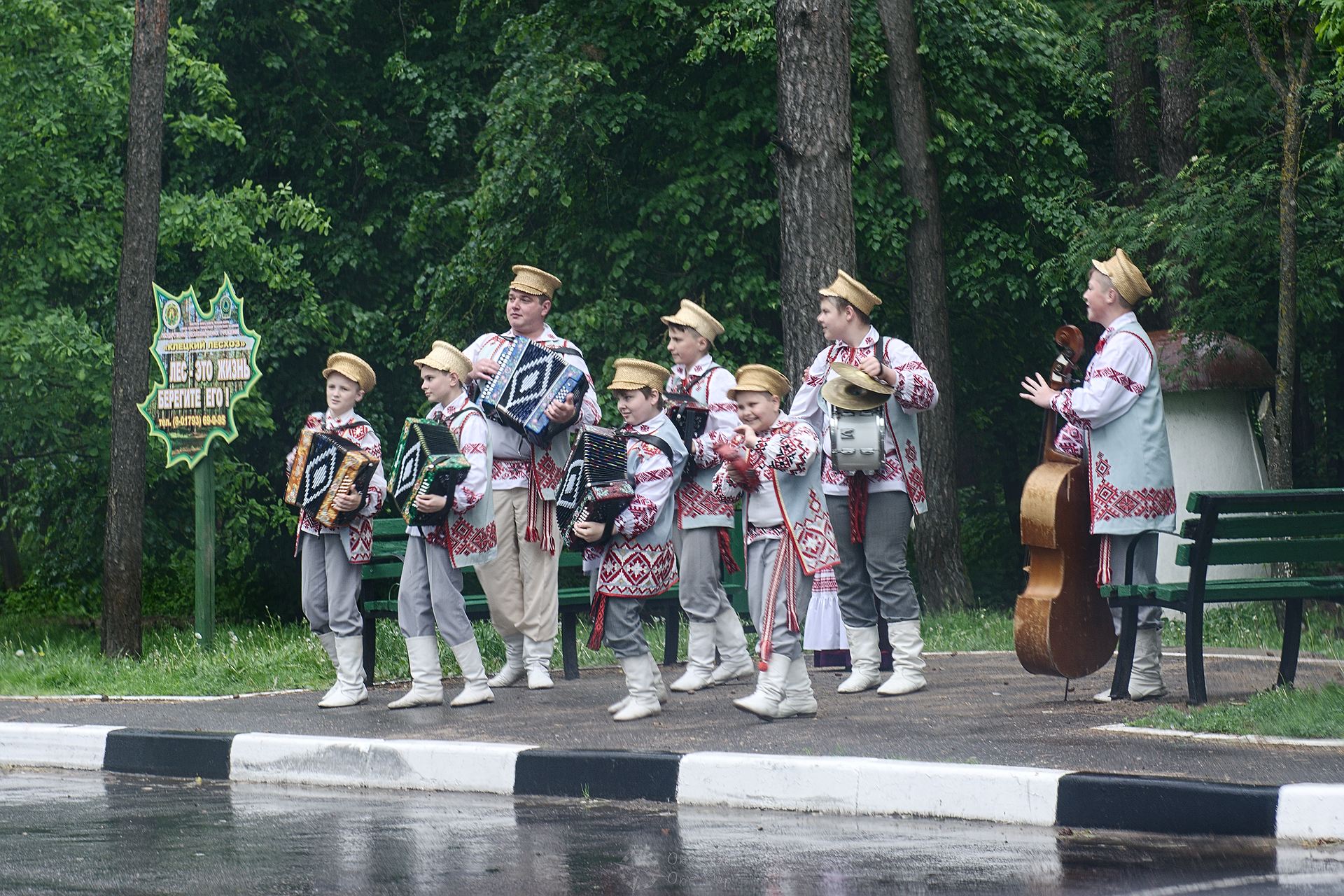
Oddity on the roadside: Apparently some foreigners had booked a “real” Belarusian chapel as a part of their minibus tour. It was raining heavily, but nobody seemed to care. So the 100% real Belarussian musicians went out into the pouring rain at a parking lot, the tourists took pictures out of the car, and 60 seconds later everything was over 😉
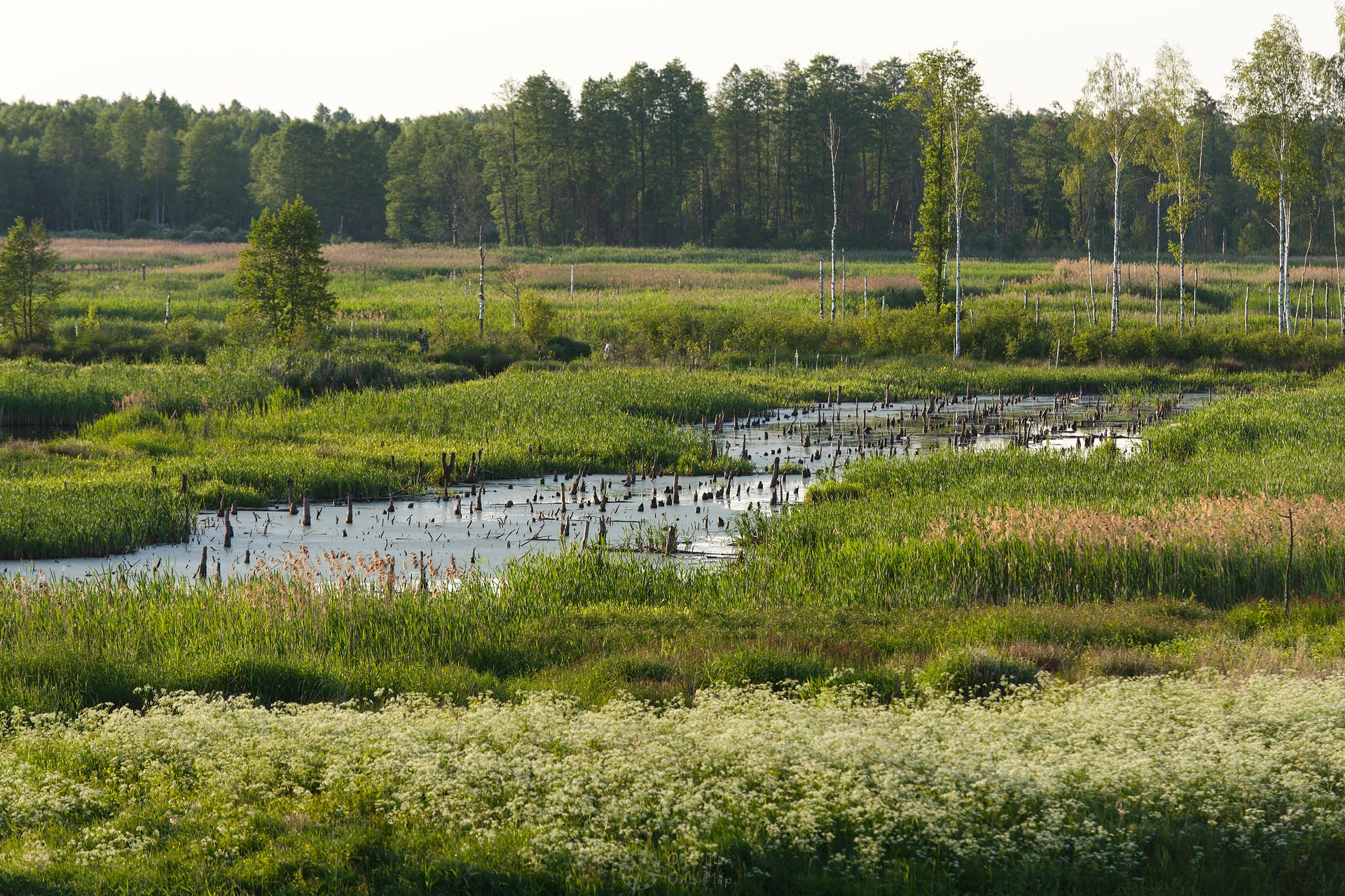
If you like wide areas with lots of nature, you will probably like Belarus. The country has about the same number of inhabitants as Austria (9 million), but is twice as large. The landscape is mainly made up of forests, fields, swamps and over 10,000 lakes. The largest lake, the Naratsch, is almost as big as the famous Chiemsee in Germany.
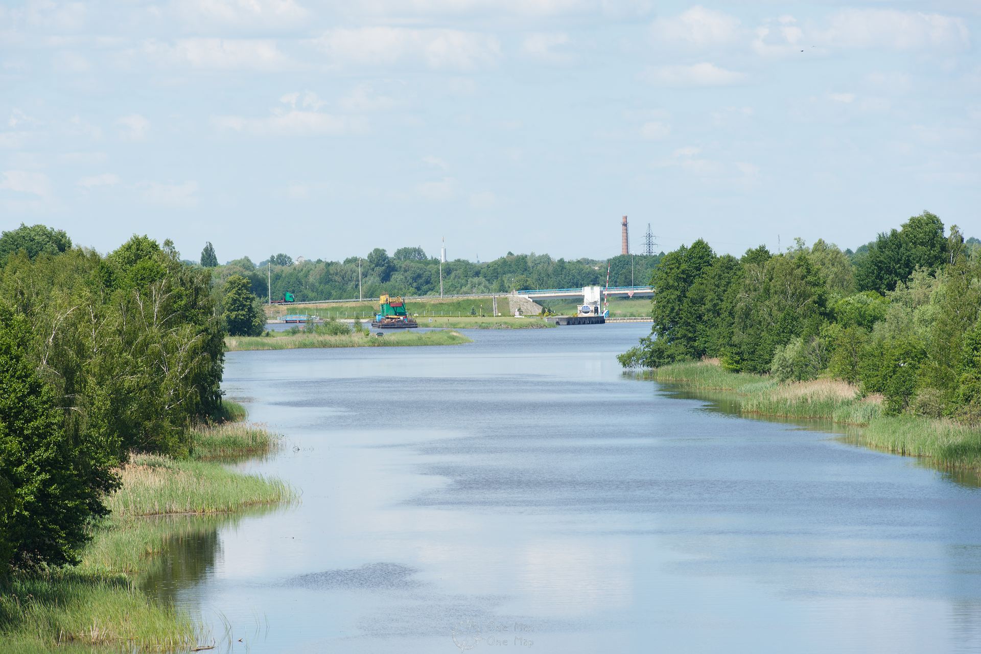
A few waterways are navigable, for example the Dnieper-Bug Canal (Дняпроўска-Бугскі канал) between the river Muchawez (Мухавец) at Brest (Брэст) and the Pina (Піна) at Pinsk (Пінск). With the ten locks along this channel, a connection between the Baltic Sea and the Black Sea was established. After the collapse of the Soviet Union, the channel was neglected and the locks silted. The inland port of Brest is only accessible from the Baltic Sea today.
In 2003, the Belarussian government adopted a program for the development of inland navigation and rehabilitated some locks, operations on the Canal could be resumed in the next few years. However, whether ships will soon go all the way from the Baltic Sea to the Black Sea again is to be doubted: The Pina leads into the Pripyat river on its way to the Ukraine. It flows past the damaged nuclear power plant Chernobyl at a distance of only about three kilometers…
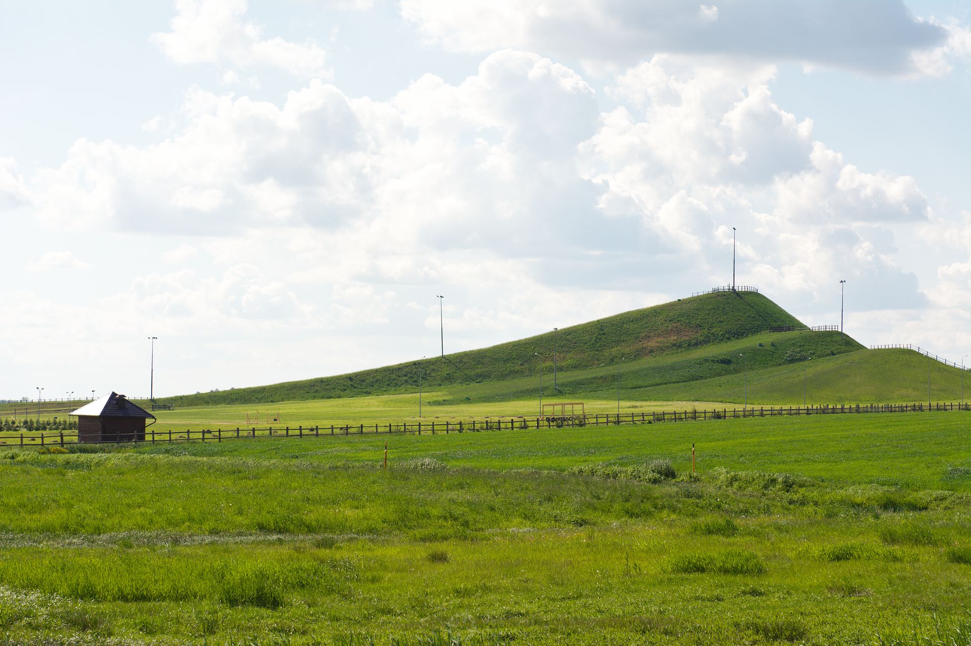
There are no mountains in the traditional sense, only a few hills. At only 345 meters the Dzyarzhynskaya Hara (Дзяржынская гара), the highest point in the country named after the Soviet revolutionary Felix Dzerzhinsky, towers just about 120 meters above the capital. This ski hill therefore had to serve as a substitute for the nonexistent mountains 😉
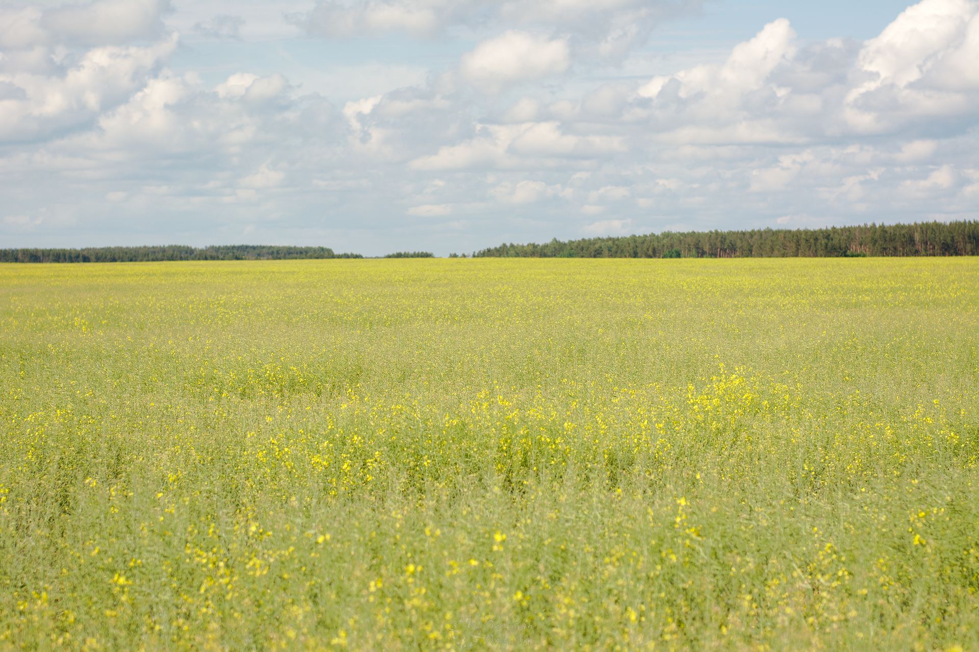
Plenty of flat land and a mild and precipitous summer climate form a good base for extensive agriculture. About half of the land in the country is cultivated, with almost ten percent of the people working in this sector. For comparison: in Germany just 1.3 percent of the population still work on farms.
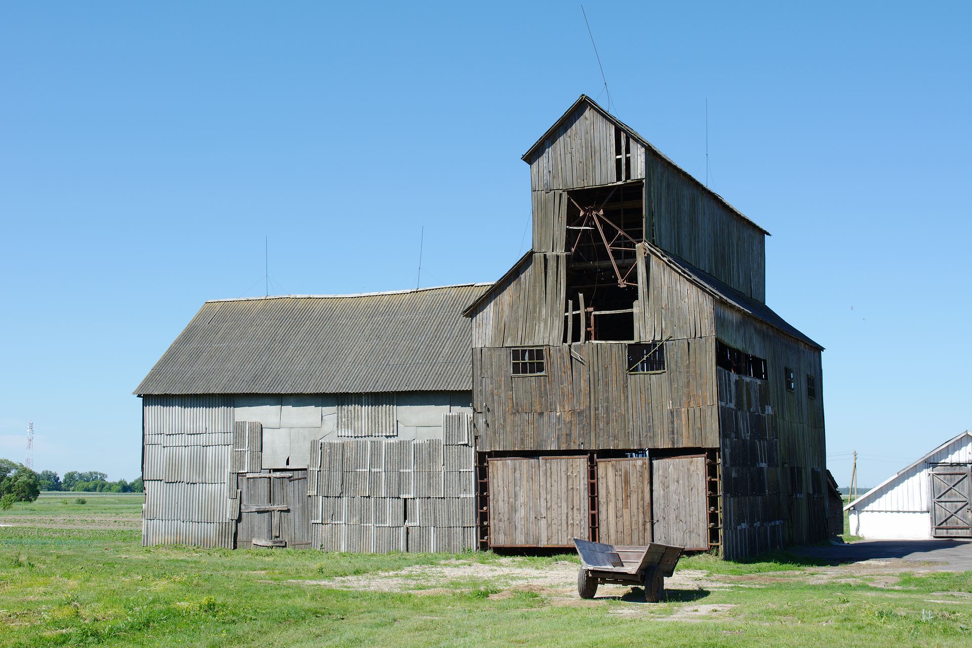
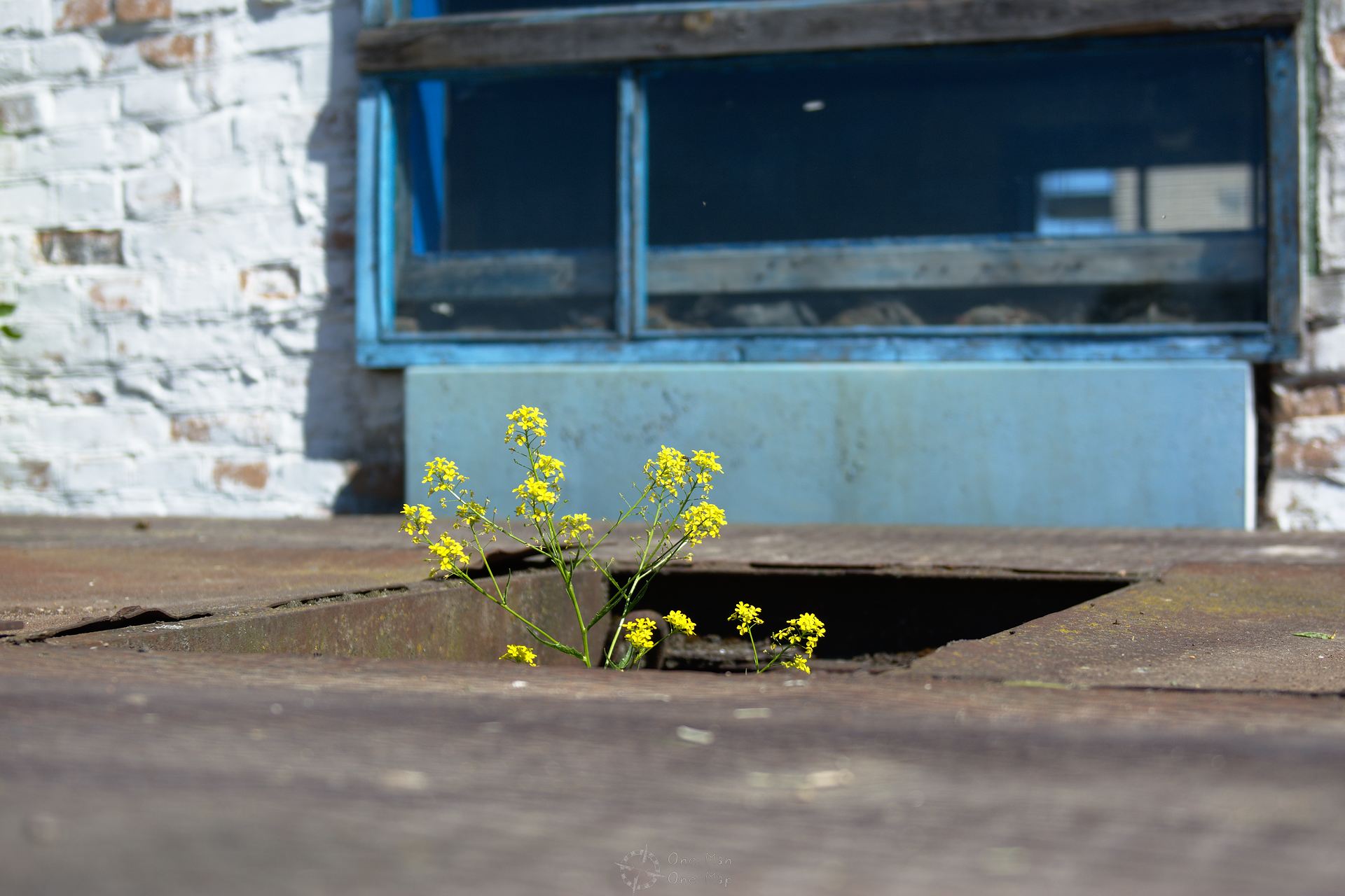
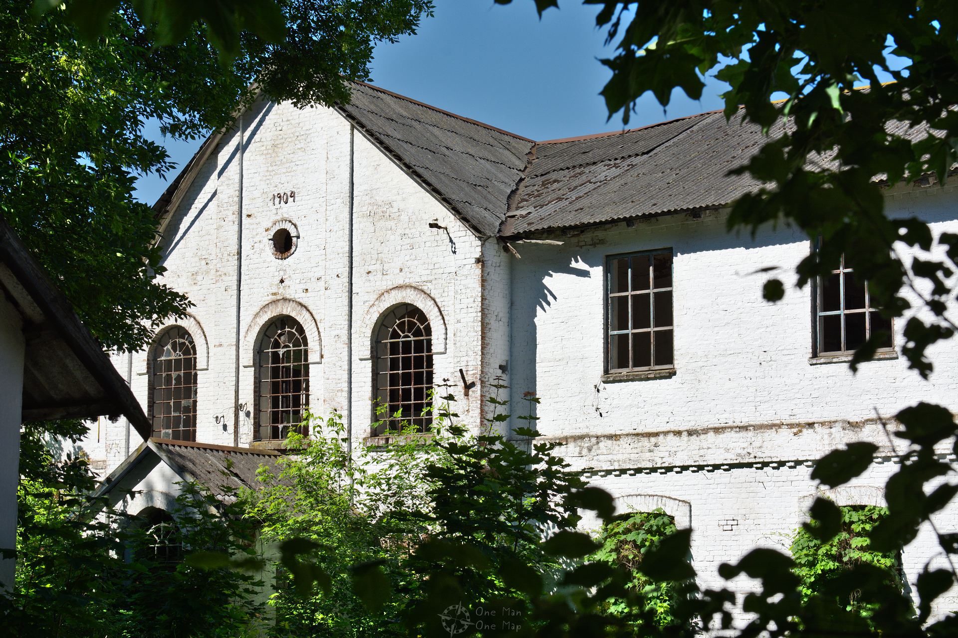
However, agriculture is also characterized by collectivization and state-owned enterprises. There are basically only two areas: potatoes and livestock. Many farms and production facilities are outdated or lie broke as (quasi-)ruins .
With only 46 inhabitants per square kilometer, the population density is five times lower than in Germany, and more than half of the population lives in the ten largest cities. Minsk alone houses two of the 9.5 million inhabitants. So the country is empty, and nature likes this.
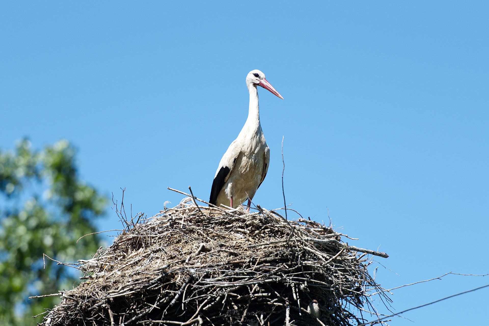
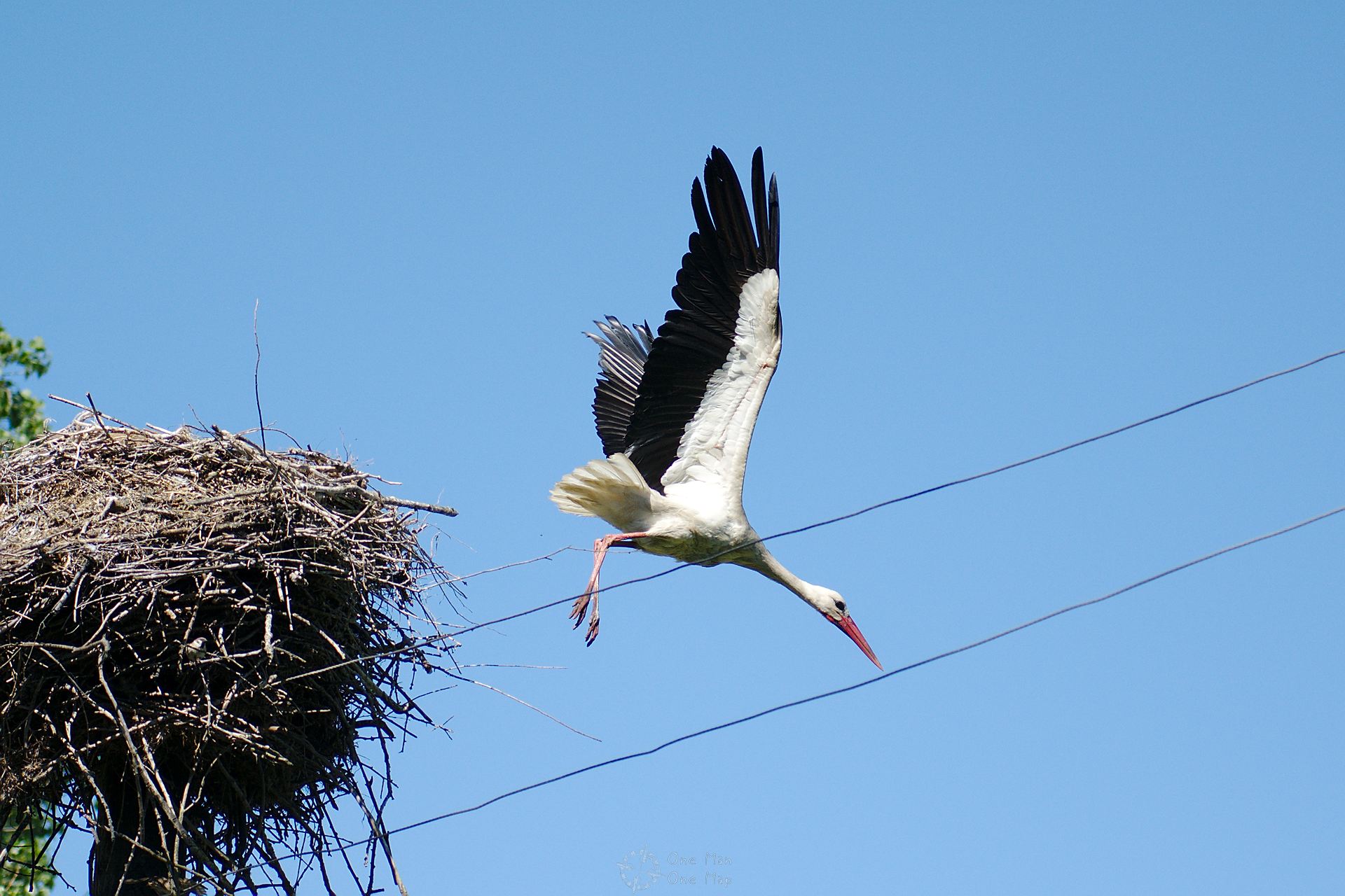
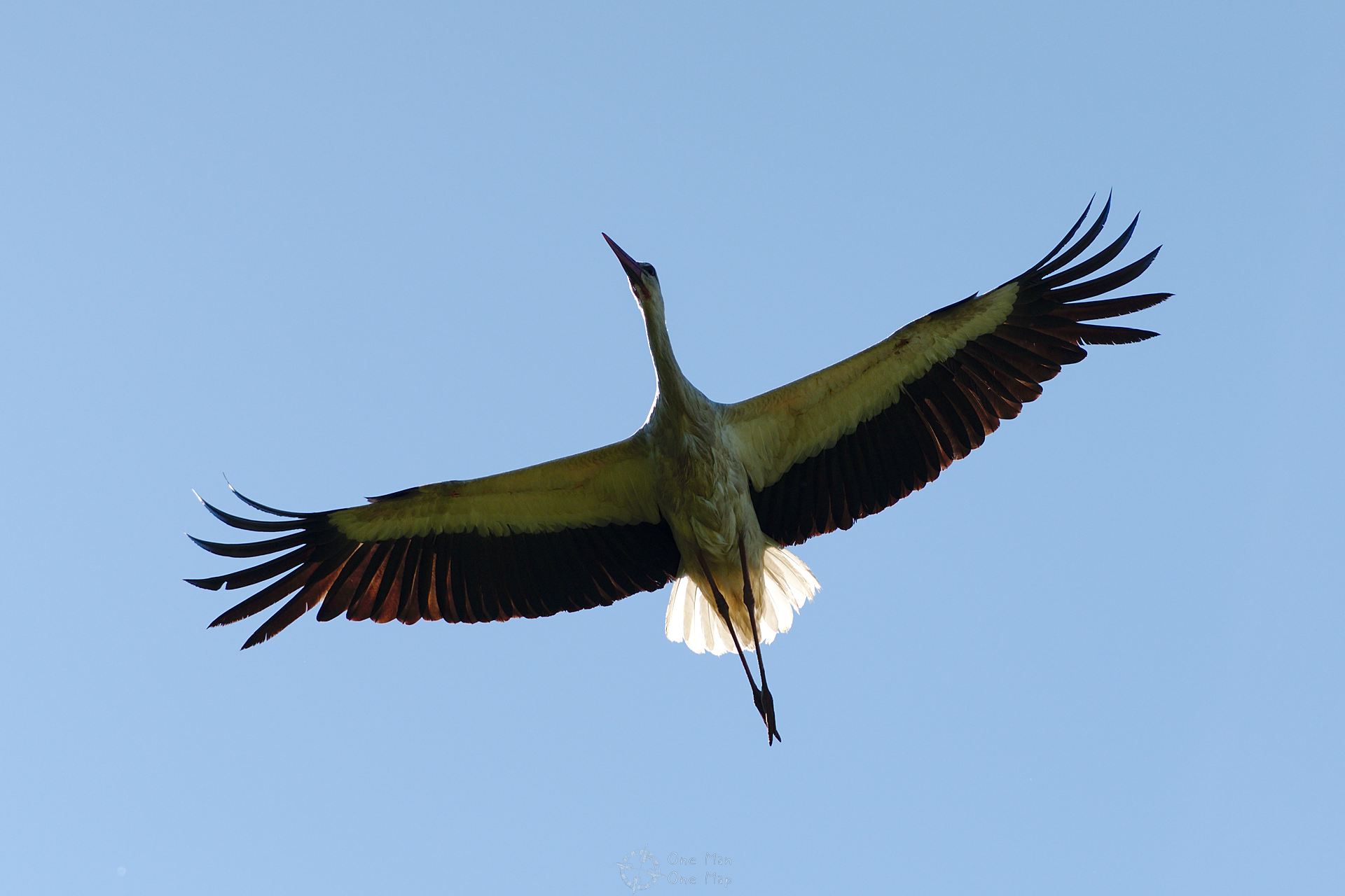
Much of the positive development of the white stork population worldwide is due to Belarus. The largest populations of black storks also live in Poland and Belarus. It felt like as if there was a nest on every telephone pole, in some places several couples were even fighting over the breeding grounds.
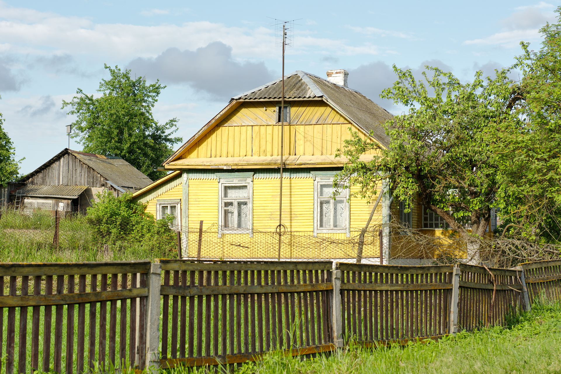
Life in the countless Belarusian villages was rather contemplative. The houses were usually made of wood and often glowed in yellow or blue colors, the streets were rarely tarred. Horse-drawn carts were common.
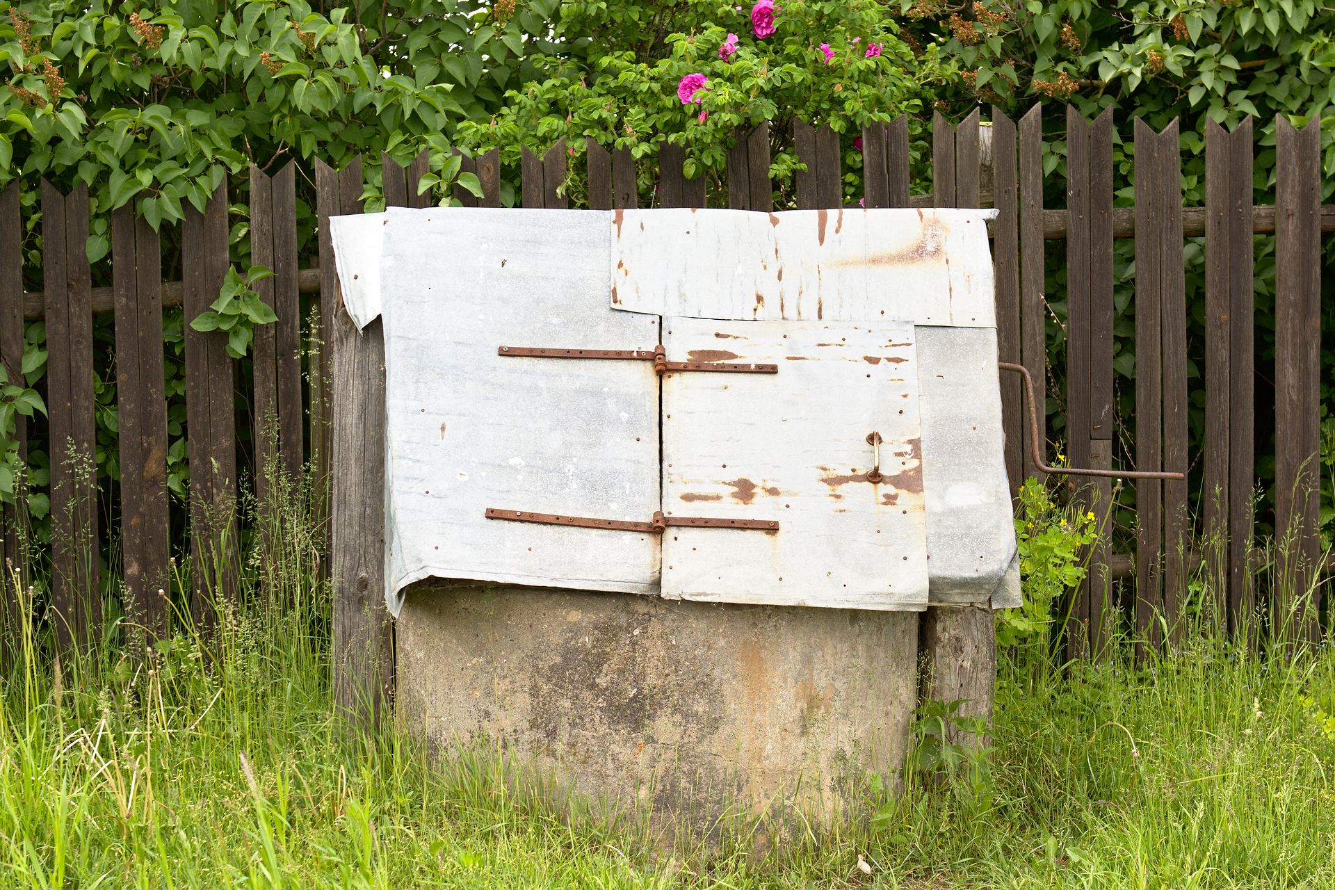
Unfortunately I could not find out if the many village wells with the typical winch and the canopy (made from sheet metal or wood) are still in use today.
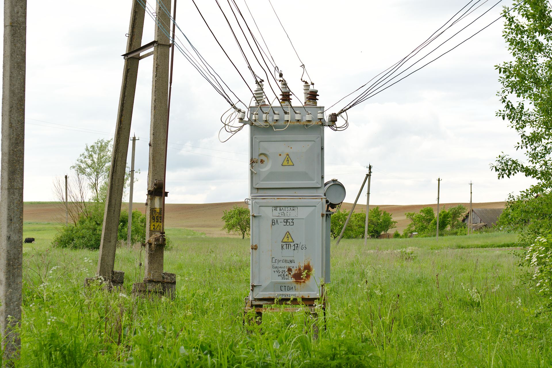
Power was often supplied by a barely two meters high transformer at the entrance to the village. Belarussian children seem to learn how to handle electricity safely through “learning-by-doing”… 😯
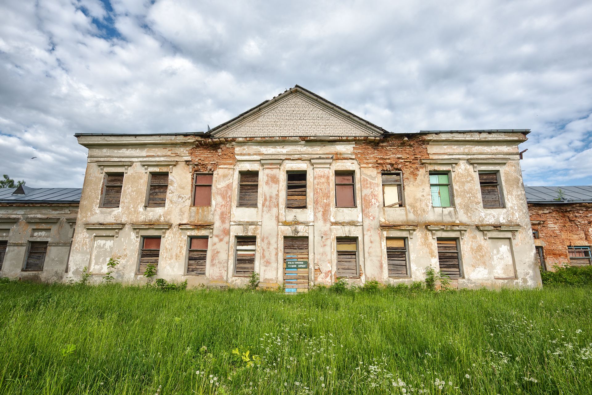
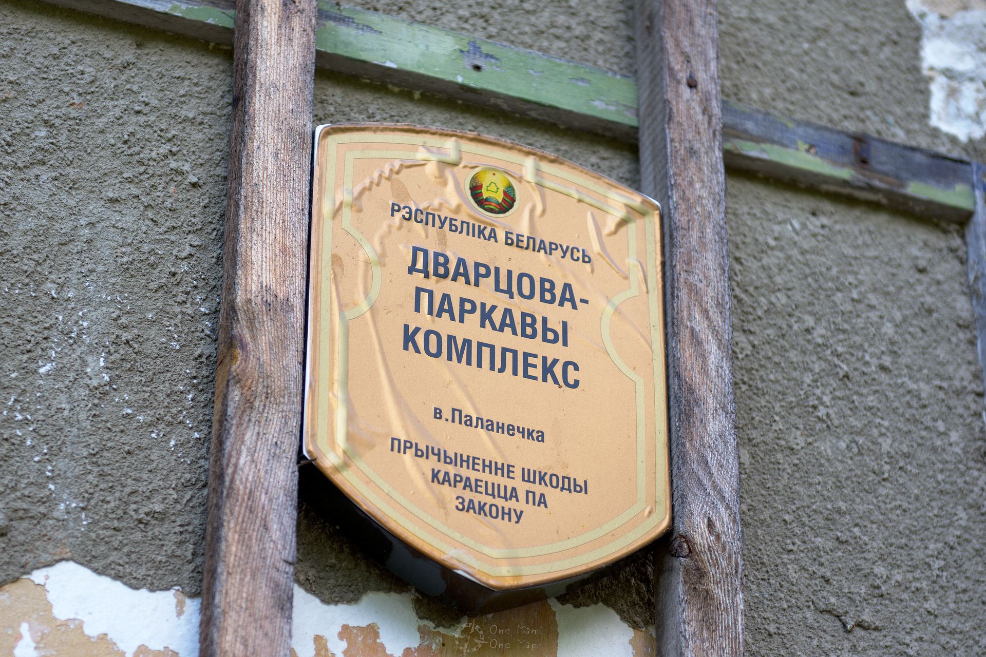
Often ruins are the only reminder of the former wealth of the country. Various Lithuanian, Polish and Belorussian noble families had built villas and palaces in the countryside. Most of them have fallen to the brink of total collapse today. There didn’t even seem to be enough money around fot the maintenance of the memorial plaques.
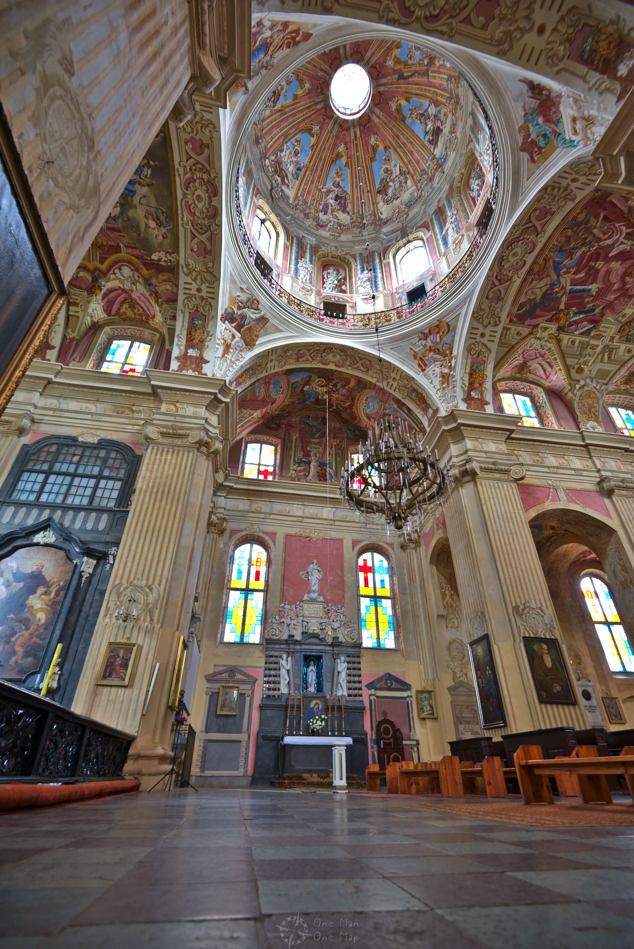
There were some surprises, however. The Corpus Christi Church in Nesvizh (Касцёл Божага Цела), for example, looked like a building site from the outside. But inside it was the complete opposite.
The Mound of Glory
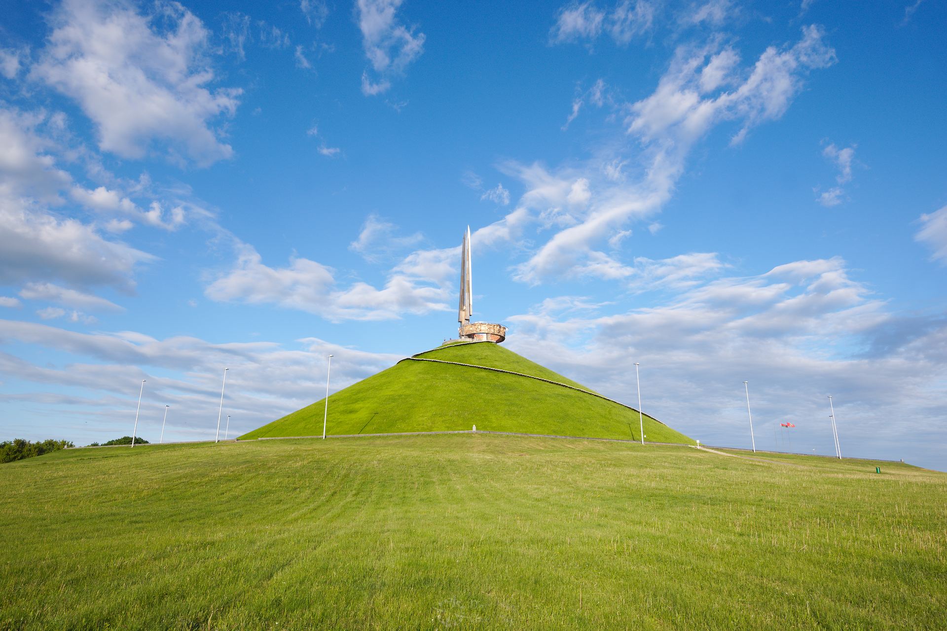
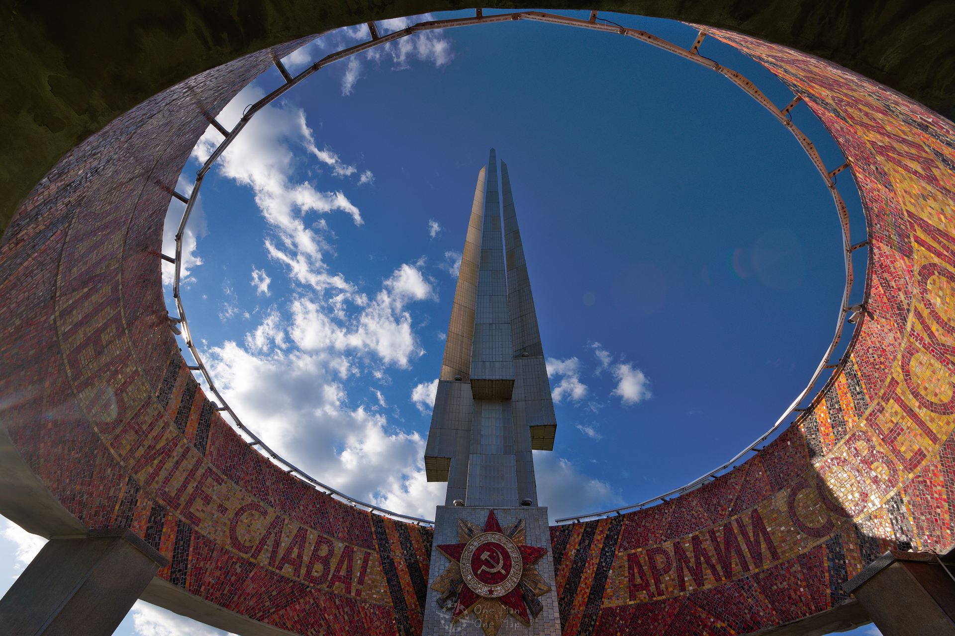
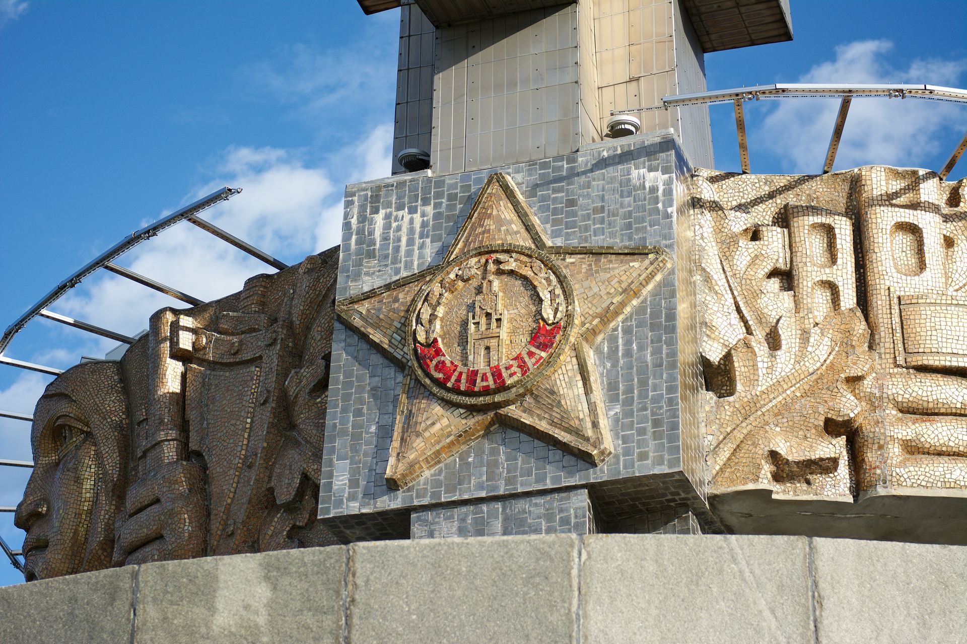
The Mound of Glory (Курган Славы) next to the M2 expressway about 30 kilometers northeast of Minsk was a marvel on its own. From 1967 on workers raised a gigantic cone here, thousands of people each brought a handful of earth from all parts of the country. After two years of work, the monument was inaugurated in 1969 just in time for the 25th anniversary of the liberation of the city of Minsk during World War II.
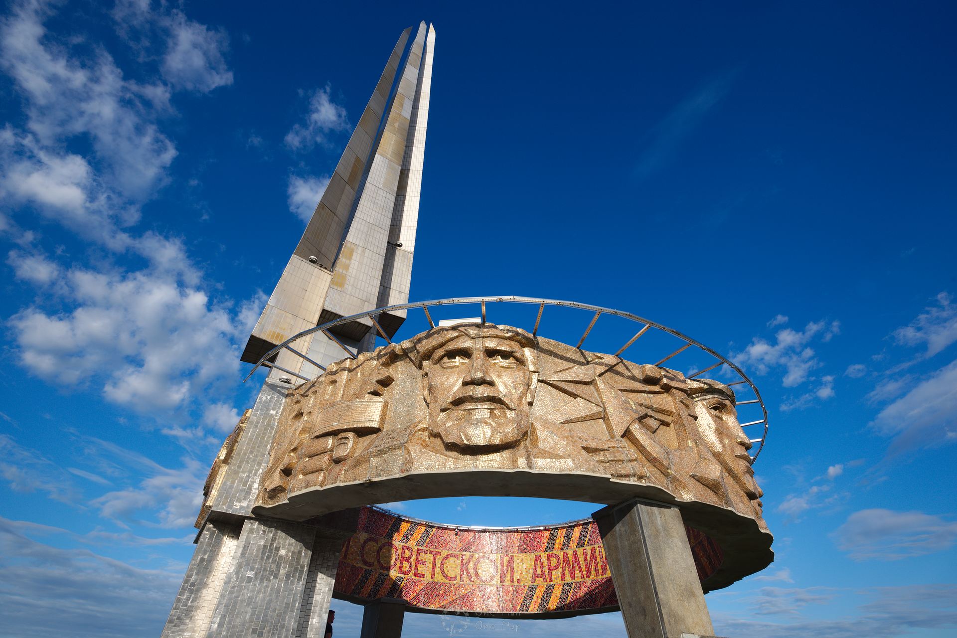
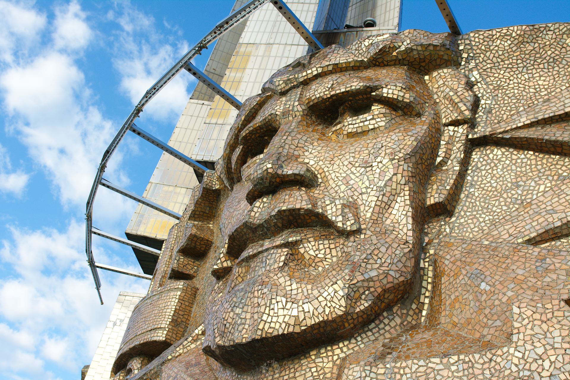
At the top of the 35 meter hill rises a 35 meter high stele. Two concrete stairs lead to the top, a concrete ring adorned with artworks of Soviet soldiers and partisans and an inscription hovers over the heads of the visitors.
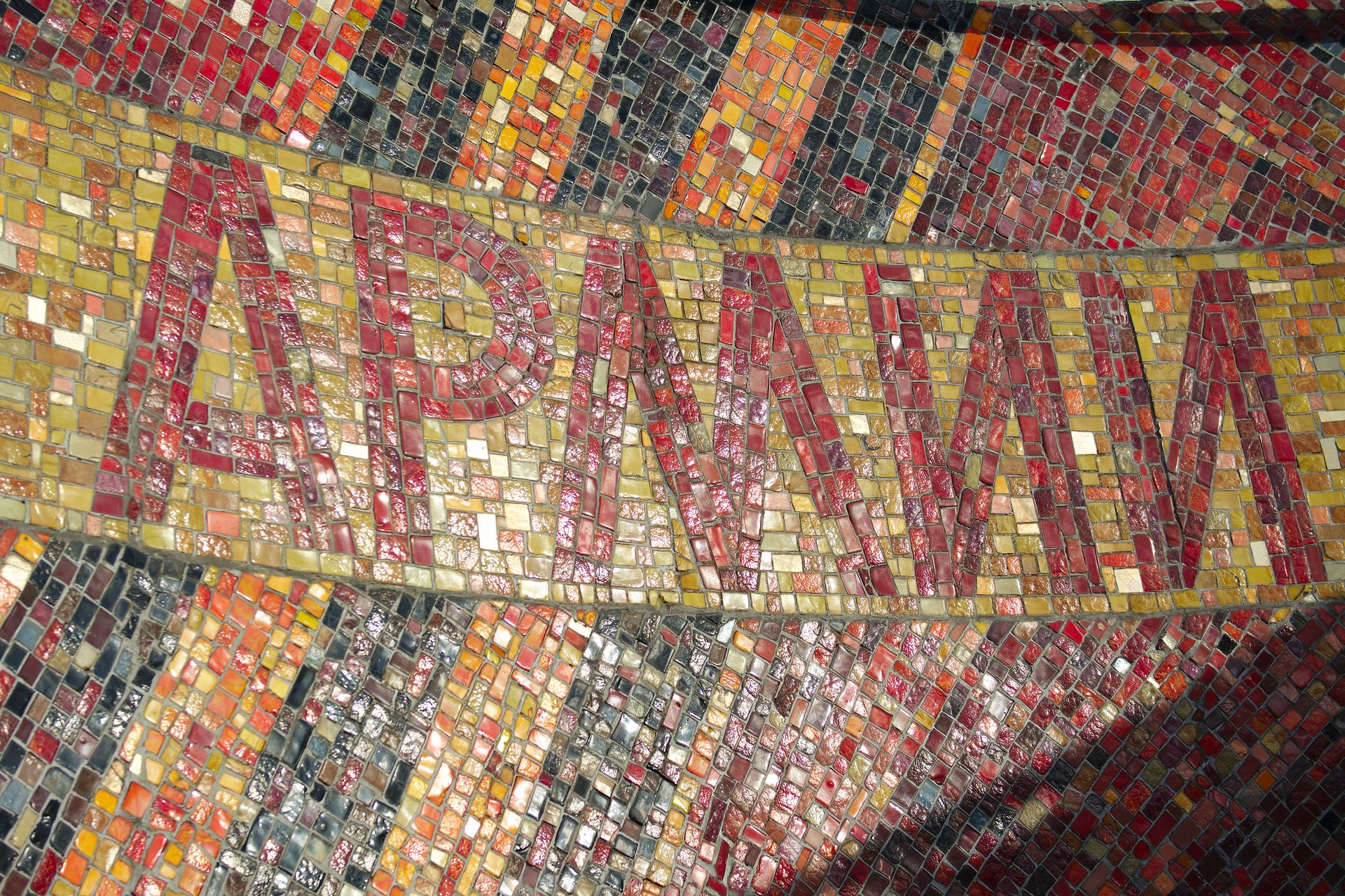
The inscription “Soviet Army, Liberator Army – Glory!” (Арміі Савецкай, Арміі-вызваліцельніцы — слава!) can be read on the inside of the ring.
I had not seen many so large and impressive monuments before. The ascent alone takes a few minutes. No wonder that this monument has inspired the architects of other heroic monuments!
Next time we will drive through Belarus by car a bit more, to a Lost Place deep in the forests. If you want to get in the right mood first, you should take a look at the corresponding category. How about, for example, the abandoned Soviet nuclear bunker deep in a forest in Moldova? 😉
This post was written by Simon for One Man, One Map. The original can be found here. All rights reserved.
